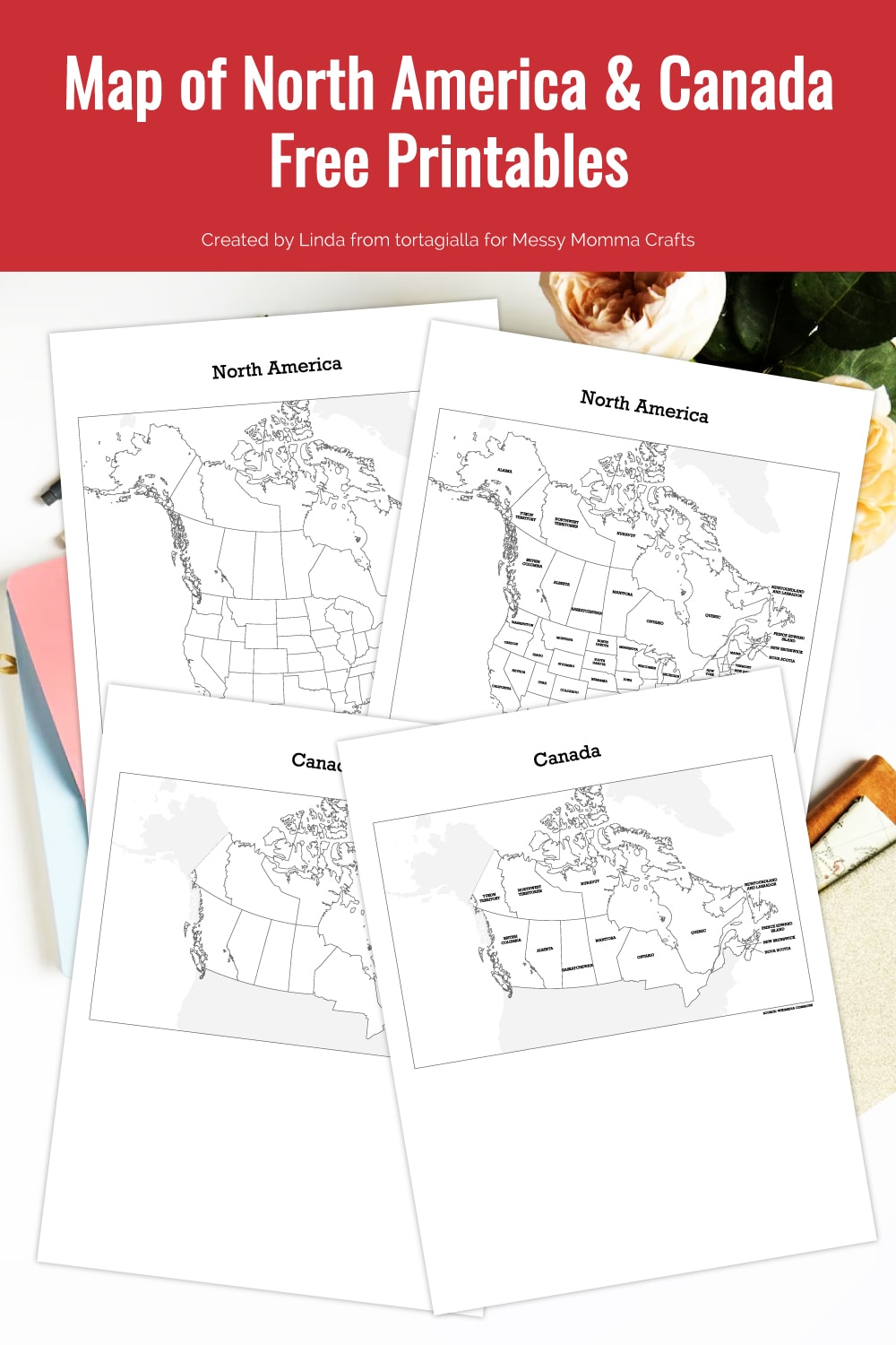
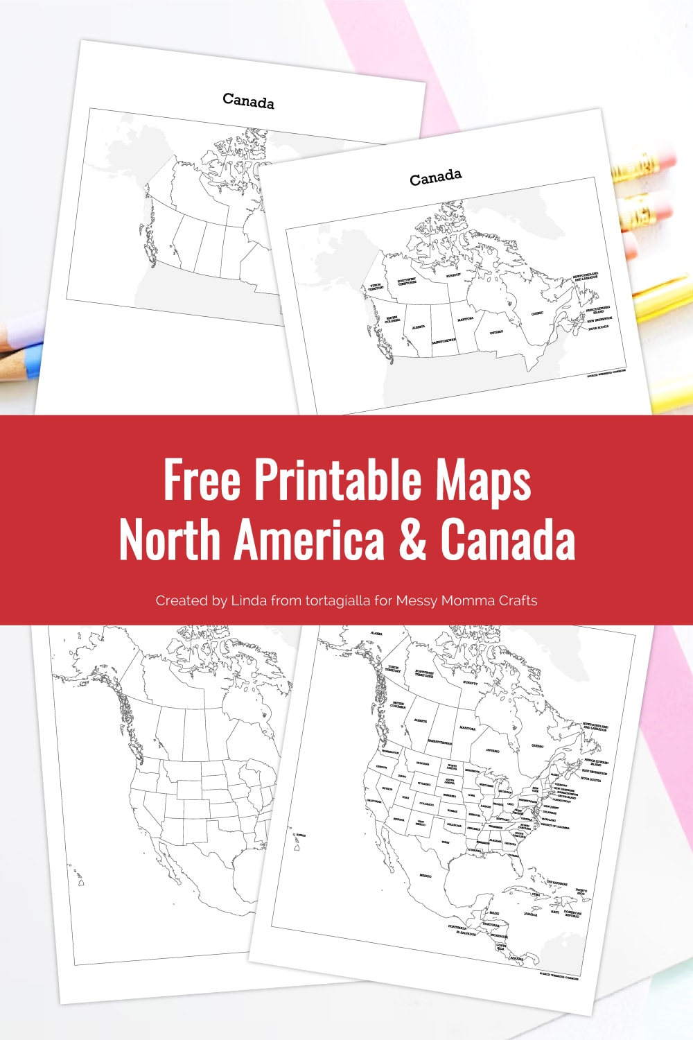
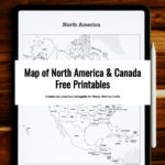
Use the map of North America and Canada free printables to help your kids learn geography and have fun with challenges and games.
Although most of us are familiar with the states of America, does your knowledge extend to our friendly neighbors in Canada? Geography and knowledge of nations around the world is an important educational topic, so use this map of North America and Canada free printables to learn with your kids!
If you are looking for more maps, here are some printable maps of Africa and Greenland.
Want more ideas like this? Subscribe today and get our weekly newsletter plus other exclusive gifts and offers — all for FREE!
Hello! My name is Linda from tortagialla.com and I’m a creative mom who loves designing digital printables. I’ve created this PDF map of North America and Canada as free printables to use for geography lessons. They are helpful educational tools for you and your kids to use in learning states and provinces around the world. You can brush up your geography knowledge together with your kids!
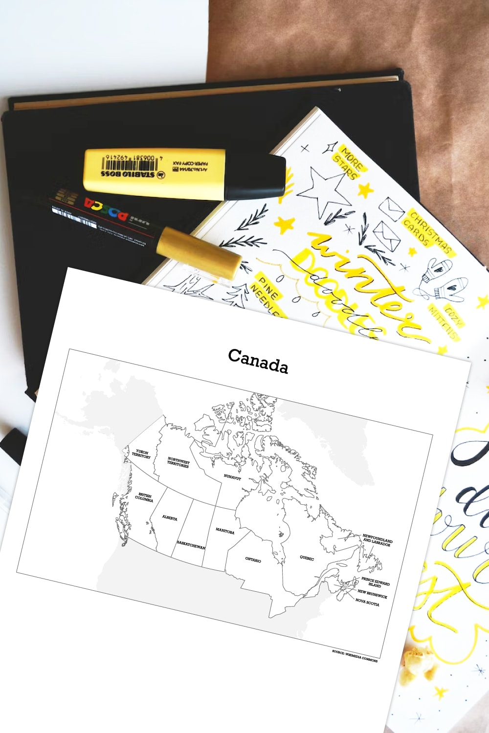
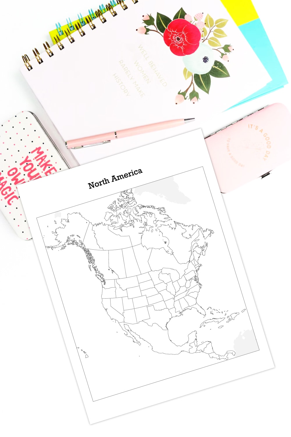
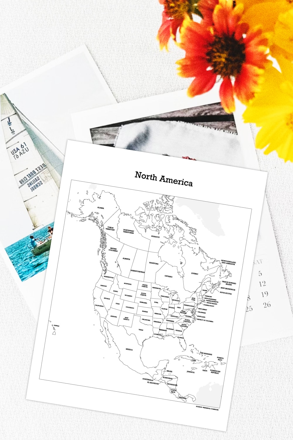
The printable PDFs includes a blank version as well as the fully labeled version of the entire North America as well as Canada only. You can use these printables to help learn and locations and names of each province and state. And you can also color, decorate and turn these printables into a fun game for the whole family. I’ll share my tips below!
Also, check out our map of Europe and Asia printables and Printable Map of the United States for more map printables!
If you’re planning a trip, don’t forget to grab the Clutter Keeper Travel Planner. It will help you stay organized through all the chaos of your vacation or trip.
Download Map of North America and Canada Free Printables
Exclusive for Messy Momma Crafts subscribers, receive this FREE printable by signing up below. You’ll get the download link sent directly to your inbox.
Your privacy is important to us. We promise not to spam you or share your information. You can opt-out at any time. See our privacy policy for more information.
All printables from Messy Momma Crafts are for your own PERSONAL USE ONLY.
After you’ve signed up, watch for an e-mail to confirm your e-mail address and download the free digital printable. Plus you’ll have the opportunity to get the Messy Momma Crafts newsletter, as well as product discounts, special offers, and other content that is EXCLUSIVE for Messy Momma Crafts subscribers only.
What You Need:
- Sign-up above to download printable PDF
- Home printer
- White paper or cardstock
- Crayons, colored pencils, or markers
Tips For Using Map of North America and Canada Free Printables
Digital printables are a great resource for learning at home. Just download and print at your leisure – budget friendly and easy to access! Sign-up above to get the link for these free printable maps. You can print as many copies as you would like, so you can try out the ideas below!
Educational Games
First, the most straightforward use of these map of North America and Canada free printables is to simply use the labeled version for learning and memorization. Then use the blank version to test your memory, giving your kids a sort of pop quiz.
You can also spice up their attempts by timing how long it takes them to identify all the states and provinces. Or try to challenge them with your own geography skills and see who can finish first!
Coloring, Tracking and Decor
Alternatively, you can also use these printables maps for relaxing coloring and digression. Sometimes it’s fun to simply color up a map for the sake of coloring and passing time. However, with the labeled version, you will invariably pick up some information along the way.
Another option is to color only the areas you have visited, turning this printable map into a travel tracker. It would definitely be a fun way to track your family travels if you love to vacation or road trip together.
Ultimately, this printable can become a cute decor item, if you choose to color, paint and decorate the maps to put up on the wall.
Expand with Further Research
Finally, for older children, I would encourage them to take it further after learning the names of states and provinces. They can choose one of interest and conduct further research to learn more specifics and information. Perhaps every week, a different states or province can be chosen and as a family, you can spend some time researching and learning interesting facts together. Conversation around the dinner table can be more interesting when there is a specific topic to bring everyone together!
Enjoying our crafty ideas? Subscribe today to receive our free guide, “From Fridge to Keepsake: 8 Clever Ideas to Preserve Your Child’s Artwork,” plus weekly updates and exclusive offers — all for FREE!
What’s Next?
So if you liked this map of North America and Canada free printables be sure to check out my blog for more digital freebies – Tortagialla digital printables blog.
More Digital Printable Downloads
For more activities with your kids, check out these other DIY ideas:
Leave a Reply