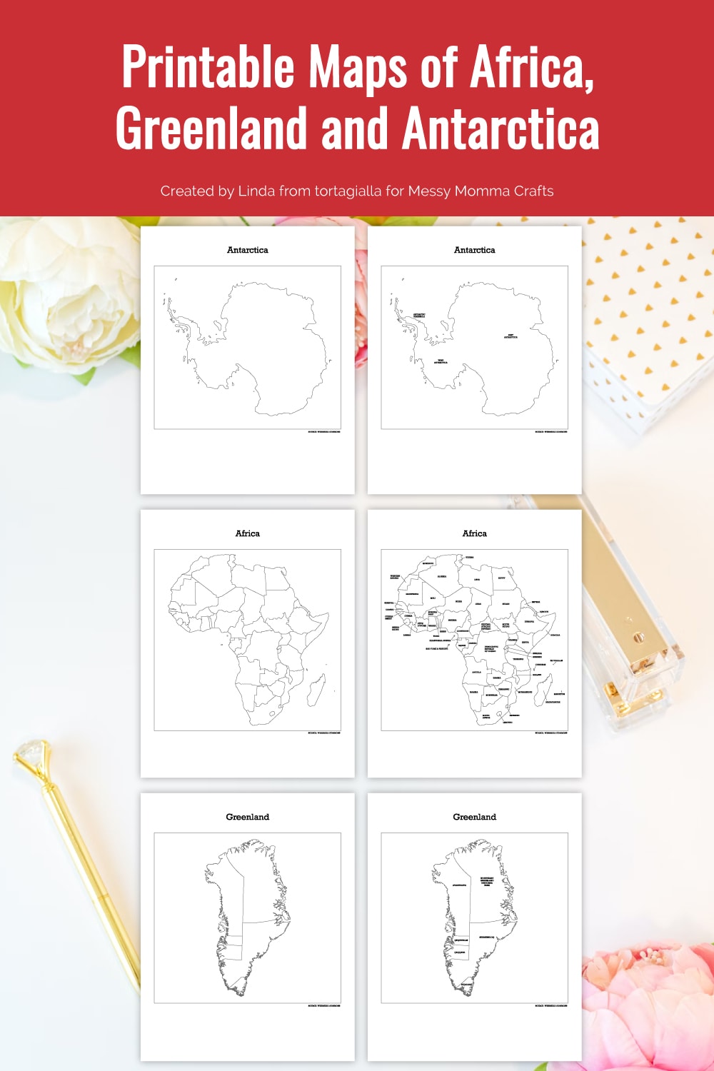
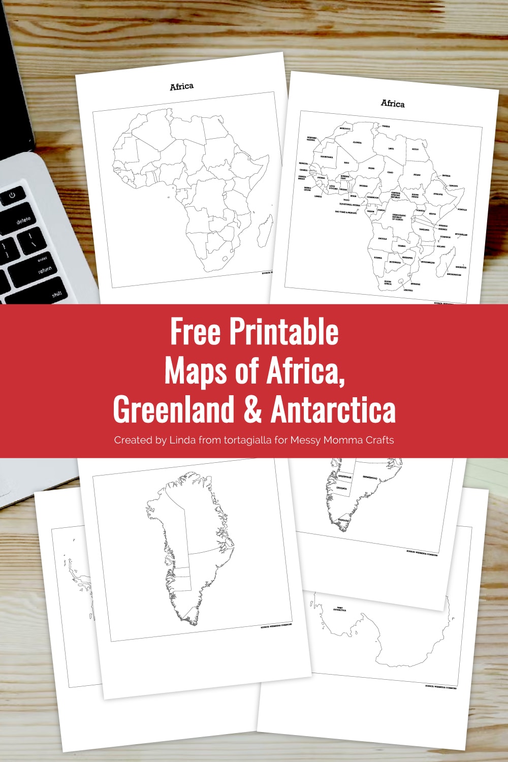
Check out these printable maps of Africa, Greenland and Antarctica for fun geography activities at home! There are blank and labelled versions of the maps for learning and studying.
How would you rate your geography knowledge for countries and territories around the globe? For most of us in the United States, we definitely learned a lot in elementary school, but mostly domestic and very little details about other continents.
Now that I live abroad in Europe, I felt it was really important for my kids to know a bit more about all the different countries in the world and not just where we live. I’ve been posting the maps of all the countries across the globe for free download here on the blog, so you can download and use them as well. Help your kids expand their geography knowledge and explore in fun and creative ways with maps!
You can also download the other maps for more learning, coloring and crafty activities. Check out the other map posts – Map of United States, Printable Map of North America & Canada, Map of Europe and Asia, Map of South America and Map of Australia.
Want more ideas like this? Subscribe today and get our weekly newsletter plus other exclusive gifts and offers — all for FREE!
Hello! My name is Linda from tortagialla.com and I’m a creative mama who loves designing digital printables. I’ve created these printable maps of Africa, Greenland and Antarctica to use at home with my kids. Besides learning geography, there are many fun activities that can be done with the help of maps!
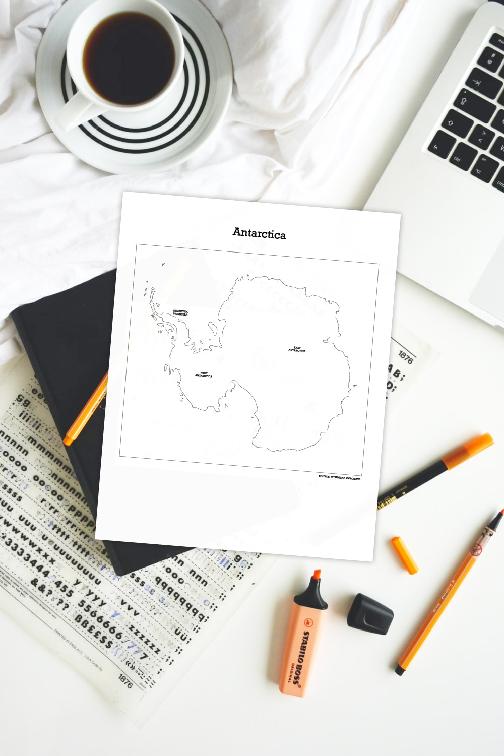
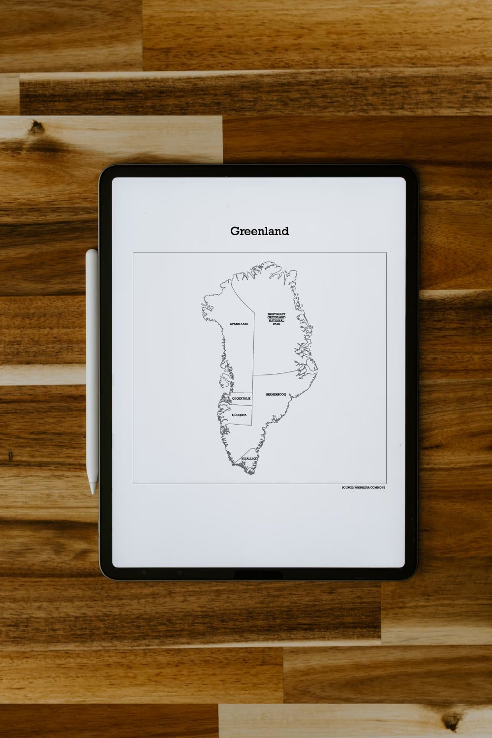
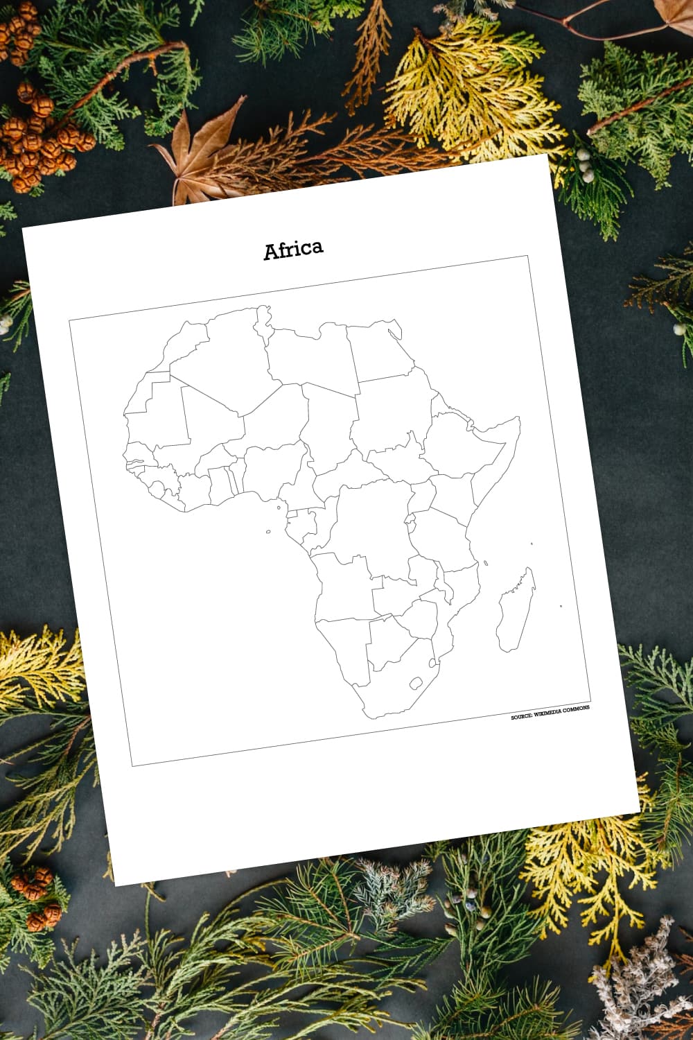
The PDFs you receive will include a blank version of the map as well as a labelled version with all the countries or territories.
Download Free Printable Maps of Africa, Greenland and Antarctica
Exclusive for Messy Momma Crafts subscribers, receive this FREE printable by signing up below. You’ll get the download link sent directly to your inbox.
Your privacy is important to us. We promise not to spam you or share your information. You can opt-out at any time. See our privacy policy for more information.
All printables from Messy Momma Crafts are for your own PERSONAL USE ONLY.
After you’ve signed up, watch for an e-mail to confirm your e-mail address and download the free digital printable. Plus you’ll have the opportunity to get the Messy Momma Crafts newsletter, as well as product discounts, special offers, and other content that is EXCLUSIVE for Messy Momma Crafts subscribers only.
What You Need:
- Sign-up above to download the free printable PDF
- Home printer
- White paper
- Crayons, colored pencils, or markers
Tips for Using Free Printable Maps
Once you have signed up and received the link to the free printable maps, you can print either the blank or labelled version depending on your activity.
Learning, Labelling and Challenges.
When first introducing a new geographical location to your kids, you can definitely do some internet searches and find some basic information. Using the labelled version, you can go through all the countries or territories. Using the blank version, you can practice labelling and memorizing the names. This is a pretty straightforward activity of coloring and labelling.
Of course, you can then turn it into a pop quiz or a challenge of who can label more areas of the blank map – depending on the age of your kids and what is appropriate.
Choosing An Area of Interest
Alternatively, besides simply learning the geographical location and names, you can actually do a deep dive related to an area of interest specific to your kids. For example, let’s say your daughter loves dance. You can then find out what are the cultural or famous dances that might be related to a specific location and introduce that topic.
Kids definitely learn and express more interest when it comes to a subject that they are already interested in. My kids always love to learn about specific animals that might only live in certain parts of the world. They also like knowing where specific natural wonders might pertain, such as a volcano or famous mountain range or body of water. So you can definitely tailor your learning to an area of interest that you know your children will appreciate!
Take Printable Maps Outdoors
Although most digital printables seem like an indoor activity at your desk, there’s actually a lot of ways to make it an outdoor activity! So for all the maps that have been posted, you can actually learn a little bit about the climate and flora of the area. Once you have learned what type of plants might grow in those geographical locations, you can take the activity outdoors.
How about gluing on some green leaves or yellow grass or sand into the corresponding areas of the map? You can introduce this activity to your kids in terms of looking for similar plants that might exist in the map locations or something to represent famous natural locations. I have found this to be really fun for my kids first to look up some famous specific locations. Think of a famous desert, a rainforest or mountain that might be located in each country. So you can just decorate those specific locations with items found in our backyards of local parks. It’s a fun way to transform an indoor activity into an outdoor exploratory one!
Enjoying our crafty ideas? Subscribe today to receive our free guide, “From Fridge to Keepsake: 8 Clever Ideas to Preserve Your Child’s Artwork,” plus weekly updates and exclusive offers — all for FREE!
What’s Next?
If you like printables be sure to check out my blog for more digital freebies – Tortagialla digital printables blog.
More Digital Printable Downloads
If you enjoyed these free printable maps of Africa, Greenland and Antarctica then you will love these other DIY ideas:
Leave a Reply